Google Maps and Google Earth comparisons of Hurricane Katrina devastations
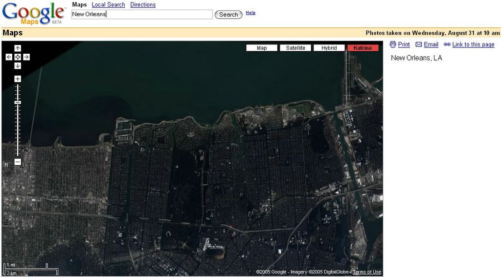
Image: Google , Google Maps and Google Earth comparisons of Hurricane Katrina devastation's

I wanted to share my discovery of the fact that Google Maps has implemented an extra overlay for the Katrina Hurricane. You can see the devastation and the satellite images as it was before. Horrible.
http://maps.google.com/maps?q=New+Orleans
Maybe it was the reaction to some spontaneous websites that various people have published to share information about the disaster. One remarkable wiki like usage of Google Maps was programmed to share instantly information about the amount of disaster or help in a specific street or area of New Orleans.
http://whateverimight.blogspot.com/2005/09/wired-news-disaster-map-wiki-is-born.html
Google Earth has been used by hundreds of people to illustrate the disaster before and after too. So GoogleBlog and GoogleEarth has posted some of them themselves. Try it. Google Earth compared to Google Maps is like the real world compared to a 12inch PC Monitor.
http://googleblog.blogspot.com/2005/09/seeing-what-katrina-has-wrought.html
If you seek more Information about he Hurricane and the progress afterwards I suggest Wikipedias coverage. It has also links to Wikinews reports and the most important Internet sites.
http://en.wikipedia.org/wiki/Hurricane_katrina
Technorati Tags: New, Orleans, Hurricane, Katrina, Google, Earth, Maps, Comparison
Labels: Comparison, Earth, Google, Hurricane, Katrina, Maps, New, Orleans
posted by Myra @ Saturday, September 03, 2005
![]()
![]()


0 Comments:
Post a Comment
<< Home